1.- THE STORY BEHIND LAKE TITICACA
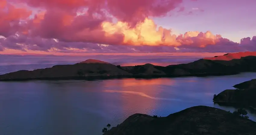
There is a very old legend about the origin of everything contained inside the Lake Titicaca Map, first mentions the relationship that existed name and the gods that were represented by the mountains (Apus), this relationship was based on a harmony in which man was not allowed to climb over the mountains however for a rebellion the shoulder did, In punishment for this act the Apus sent felines, the pumas to devour them, however 2 brothers (Manco Capac and Mama Ocllo) were left who, disconsolate by what happened, began to cry so much that they flooded the entire valley creating a large lake and turning the pumas into stone, from here also derives the same name as Peru Lake Titicaca means Stone Puma.
2.- GEOGRAPHICAL CONTEXT
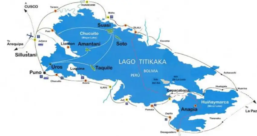
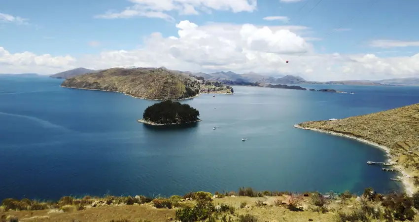
At a glance of the Lake Titicaca Map you can see that its location is more than just geographical, it is a strategic point that unites two countries and generates a mixture of culture and tradition. The Peru Lake Titicaca contains about 8370 cubic meters of extension which makes it one of the largest lakes in the world, another aspect that is quite surprising is undoubtedly the Lake Titicaca Altitude, as it is 3812 meters above sea level between Peru and Bolivia which also gives it the title of being the highest navigable lake in the world. Formerly it was the place of development of the Tiahuanaco culture prior to the Incas but still maintains the architecture showing the world all its development as a civilization.
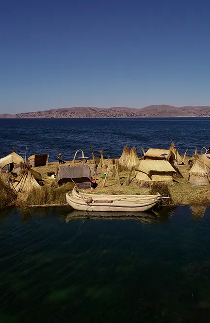
Nowadays when you go through the Lake Titicaca Map you can find that it is not only a natural place, it is an ecosystem in which you can find a great part of marine fauna and flora, besides a culture that has adapted to create their home in artificial islands, the Uros are part of the civilization that has its own rules established by themselves and as such they become a unique place worth visiting.
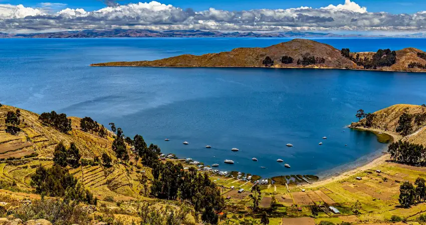
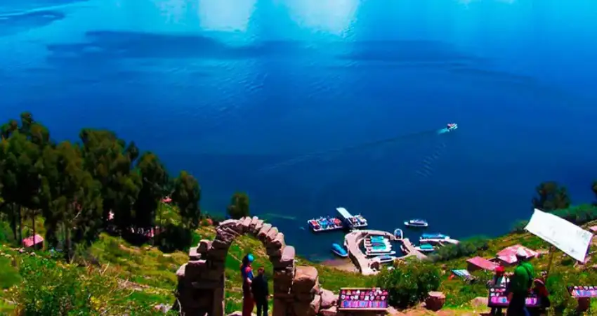
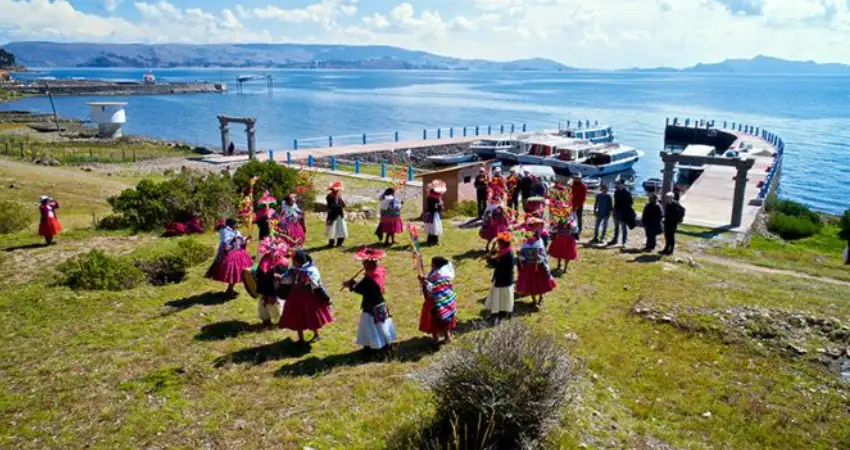
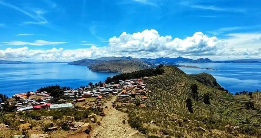
Although of course there are more within the Lake Titicaca Map, there are also living places where time is paralyzed and daily life is maintained as it was done hundreds of years ago, this mainly occurs in the natural islands of Amantani, Taquile and peninsular as Capachica.
| “The only true voyage of discovery consists not in seeking new landscapes, but in looking with new eyes.” |
3.- TOURING INLAND LAKE TITICACA MAP
Not all travelers understand why inside Lake Titicaca Map hides endless natural jewels that are unique in the world, its crystal clear waters are home to multiple cultures that keep their tradition alive for generations, among the main places you will find to visit inside Lake Titicaca Map are:
3.1.- Uros Island
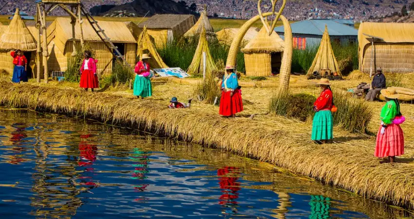
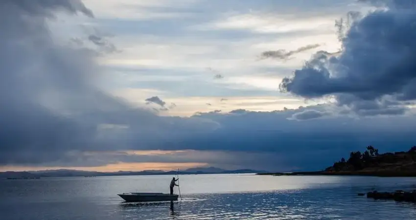
It is one of the main places to visit despite the Lake Titicaca Altitude, is considered the first stop during the visit to the interior of the lake waters, these islands are made artificially based on a plant that grows in the same lake, the Totora and eventually receives a maintenance with the same. This is crazy because they literally use a plant from the same lake to create the surface and then increase its size as the family grows, in some cases when a man wants to form his family, he decides to do it from 0 and creates his own island, this tradition has been maintained for generations and has become one of the main tourist attractions within the Lake Titicaca Map. You can perform activities such as walks in dams made of the same plant and coexistence with people which helps to understand a little of their lifestyle.
3.2.- Taquile Island
Within the Lake Titicaca Map you can also find natural islands as is the case of Taquile, is known worldwide for the unique textiles that are made and the most particular thing about this is that they are made exclusively by the men of the community, they are the ones who inherited the talent and tradition to develop these cultural jewels that can become a great souvenir for you. UNESCO has declared that these textile pieces are considered intangible cultural heritage. Due to the Lake Titicaca Altitude and its remote location their lifestyle is more leisurely so their customs are more important, also contains within its activities small walks along trails to the highest area of the island where you can enjoy a panoramic view of the impressive Peru Lake Titicaca.
3.3.- Amantani Island
It is considered the sister of Taquile, it is also located within Lake Titicaca Map and is characterized by being quite quiet as well as providing a different view of the vast lake. Some call it the island of love because many couples come to visit during their journey within the Lake Titicaca Map to spend the night with a local family and enjoy the hospitality and at the same time know their lifestyle, inside you can meet two of the main mountains known as Pachatata and Pachamama which are also ceremonial centers that formerly belonged to the Inca culture.
ORIGIN OF A CIVILIZATION
“There is a legend that mentions Peru Lake Titicaca, from its waters came out 2 brothers, Manco Capac and Mama Ocllo who undertook the journey with a golden rod given by the sun god in search of the land that would be the place where the most important culture of South America, the Inca culture, would be formed.”
3.4.- Sun Island
Although it is within the Lake Titicaca Map, this particular island is already part of the Bolivian territory (Copacabana) and according to history it is said that this is the place from where the brothers Manco Capac and Mama Ocllo who later founded the Inca culture departed. Known as one of the main tourist destinations in the area contains a large number of archaeological remains of pre-Columbian times having as main place the Temple of the Sun and the staircase of the Inca which for many travelers represents a journey through time thanks to its light walks that allow you to have a moment of disconnection from the world and meditate surrounded by a unique landscape in the world.
3.5.- Moon Island
Almost next to the island of the Sun you can find the mysterious island of the Moon which is also popularly known for containing the temple of the Virgins of the Sun where it was considered the home of the women who were chosen to serve directly to the God, like the previous mentioned is also located within the Lake Titicaca Map on the Bolivian side very close to the Copacabana sector from where visits regularly depart to tour it.
3.6.- Capachica Peninsula
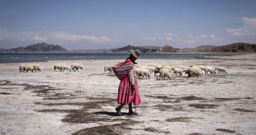
Although less known within the traditional tour of Lake Titicaca Map, the Capachica peninsula offers travelers a different experience in which focuses its activities in interacting with the people of communities such as Llachon, Paramis, Collpa and others. They are characterized by the pleasant hospitality they offer to travelers integrating them in their basic activities such as fishing, agriculture, sailing and many other options.
4.- HYDROLOGICAL FEATURES
For all those who are curious and become meticulous with the Lake Titicaca Map, they will notice that its expansion is due to the fact that it is provided with 2 large basins connected through the Tiquina Strait. This strait is approximately 800 meters wide and is made up of the Chucuito basin which has a depth of 281 meters, and a second smaller basin known as Wiñaymarka which is approximately 40 meters deep.
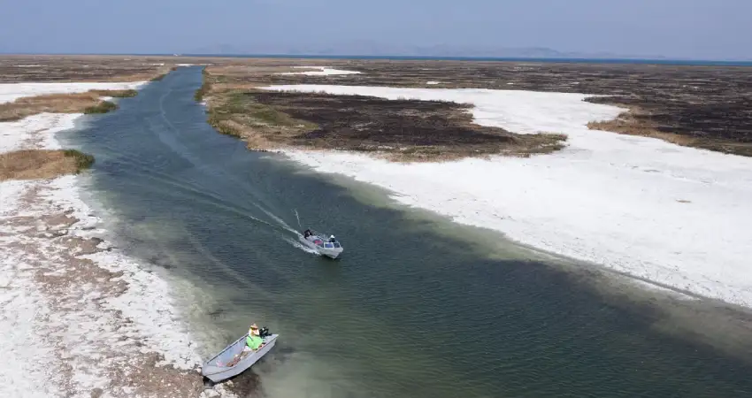
Of course they are not the only ones that also contain river systems that provide the water resource, among the main ones are Suchez, Huacane, Llave, Copta and Ramis, the latter being the largest of all and the one that provides the most. What makes it always keeps the same level is that it has many access points and only one exit, in this case is the Desaguadero River southbound to Lake Titicaca Map. According to a water record it was found to contain a large amount of magnesium, calcium sulfate, sodium sulfate and sodium chloride.
5.- CLIMATE AND ENVIRONMENT
Due to the Lake Titicaca Altitude it is normal to feel that the cold is more frequent and constant almost throughout the day, its surface can be between 10°C to 15°C almost all year round, that is mainly because most of the water providers are cold and the wind is icy. During the winter season is the coldest time of the year as you can feel a temperature between 7°C to 10°C, so it is best to be prepared for this, always wear a hat, sunglasses, clothes and sunscreen, this will make the trip even more comfortable despite the cold temperature.
Not even Lake Titicaca Altitude can intimidate you when you decide to choose it as your next destination, with all the information about Lake Titicaca Map you are ready to pack your bags and start the adventure. Auri Peru has several travel options that include at least a couple of days visiting the beautiful Peru Lake Titicaca, contact us now and discover that every moment can be unique.
“Travel tends to bring out the best and the worst in us.”


